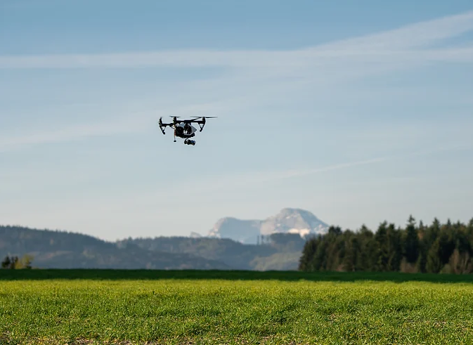
AEROGO's universe, where innovations in air technology and artificial intelligence are redefining the potential of drones. Begin an exciting trip as we uncover artificial intelligence's disruptive potential in drones. Join us as we investigate the revolutionary advances enabled by AEREGO that are transforming aerial technologies.
The Director General of Civil Aviation (DGCA) recently stated that India will soon take the first step towards paving the way for drones to be used in e-delivery and air taxi operations. India's drone odyssey, which started more than 20 years ago, has only recently begun in the civilian and commercial spheres, despite the country having one of the largest military drone fleets in the world. In line with the worldwide trend of transforming existing cities into smart cities, approximately 100 cities have been designated for transformation. India, with its smart city programme, scattered throughout its diverse topography, presents an excellent laboratory for the deployment of UAVs.
Now it's Aerogo's turn to broaden the range of UAVs functions. Drones are playing an increasingly important role in the development of smart cities. Smart cities are designed to be more efficient, sustainable, and livable by using technology to improve services and infrastructure. Drones are a valuable tool in achieving these goals, as they can provide a range of services that are not possible with traditional methods.
Here are some key roles that drones can play in the development of smart cities:
I. Addressing the "Elephant in the Room"
Infrastructure Inspection and Maintenance Drone
UAVs are being employed extensively in the construction of smart cities by government and private bodies particularly in the fields of infrastructure inspection and maintenance. Drones are getting more and more common for inspecting and maintaining infrastructure. Drones can swiftly and accurately assess infrastructure assets, such as bridges, buildings, power lines, and wind turbines, from the air thanks to their high-resolution cameras, thermal imaging sensors, LiDAR, and other types of sensors. In comparison to conventional inspection techniques that demand for employees to physically climb and examine infrastructure assets, employing drones allows for safer, faster, and more affordable inspections. UAVs also conduct inspections more regularly, enabling early identification of any flaws or performance difficulties, which can reduce the chance of catastrophic failures and increase the overall dependability and safety of an asset.
Traffic Management Drone
In order to assist officials in making knowledgeable judgements on traffic diversion, road repair, and traffic regulation enforcement, drones give real-time overhead images of traffic patterns and congested areas. Drones gather information on traffic flow, congestion, and road conditions by taking overhead pictures of highways and junctions. Using drones with sensors and cameras, authorities gather information on vehicle density, speed, and flow to better understand traffic patterns. Drones also offer road and junction monitoring to look out for mishaps or criminal activity. This data is be utilized to detect accidents or other traffic-related issues, increase overall transportation efficiency, and optimize traffic management systems.
Emergency Response and Disaster Management
In the management of disasters and emergency response, drones are very useful. They can be utilized in search and rescue efforts to locate missing or trapped individuals. Drones equipped with thermal imaging cameras can detect human body heat at night or in poor light, which is useful in emergency circumstances. By providing overhead film and visual data of the impacted areas, drones also aid in the evaluation of disasters. Emergency personnel can use this information to assess the damage and find people who might want aid. UAVs are also used to provide supplies like food, water, and medication to remote locations that are unsafe for humans to access. Overall, drones are of great help in efforts to manage disasters and respond to emergencies.
Delivery and Logistics Drones
In smart cities, drones have the potential to revolutionize last-mile deliveries and logistics. Unmanned aerial vehicles (UAVs) are used to convey goods and products as part of delivery by drones, a contemporary logistics technique. By lowering delivery costs and increasing accessibility to rural places, this technology offers quick and effective delivery services. The transportation of commodities from the point of origin to the site of consumption is managed, regulated, and coordinated as logistics. Among other things, it entails distribution, inventory control, and transportation. Drone use in logistics has the potential to completely change the sector by boosting productivity, cutting down on lead times, and minimizing human error. Drones can carry deliveries, medications, or emergency supplies by using their autonomous flight skills, which cut down on delivery delays, traffic jams, and carbon emissions related with conventional delivery techniques. Drone delivery is a new technology that has the potential to completely change the logistics sector. Package delivery can be done swiftly, cheaply, and successfully with drones. Several large businesses, including Amazon and Walmart, are already testing this technology. Zomato, the food delivery service provider acquired a drone company, Tech Eagle, a Lucknow-based startup to help create a “hub-to-hub delivery network powered by hybrid multirotor drones". This clearly indicates their move toward the cause.
Infrastructural Planning and Design
Drones are used in urban planning and design in an array of ways. Planners and designers may utilize drones to gather information and take pictures of a city or place from above and from the ground, respectively, to help them make choices. Drone-performed aerial surveys and mapping produce very detailed data. In addition, UAVs are used to capture 3D models of locations for use in virtual reality simulations, and other design processes, examining patterns of land usage, and assisting infrastructure building initiatives. Planners use this information to make well-informed choices, allocate resources efficiently, and create livable, productive cities. Drones can also swiftly and effectively scan broad regions, which, saves a lot of time and money throughout the planning phase.
Conclusion
We can confidently assert that drone technology combined with smart cities considerably improves a nation's quality of life by increasing efficiency if we consider the existing situation and the changes occurring in India and across the world. Prime Minister Modi's Vision 2024 places a high focus on the growth of the drone sector, and in order to that end, the Ministry of Defense has requested input from businesses to assist in the establishment of drone testing facilities around India. All participants in the drone industry, including producers, service providers, software developers, and sensor makers, would significantly benefit from such a facility since they will be able to test and verify their products before they hit the market. The drone ecosystem as a whole was severely lacking in this one aspect. Unmanned systems will soon be prevalent, which is not a long way off.


Comments